→
www.flickr.com
→ view on map “Salmas to Shabestar”
Salmas, Azarbayjan-e Gharbi, Iran, 20℃, 1369m 2013-06-11 16:49:49 (EEST)
35.0 mm | f4.0 | 1/320s
→ view on map “Salmas to Shabestar”
Salmas, Azarbayjan-e Gharbi, Iran, 20℃, 1369m 2013-06-11 16:49:49 (EEST)
35.0 mm | f4.0 | 1/320s
→
www.flickr.com
→ view on map “Salmas to Shabestar”
Salmas, Azarbayjan-e Gharbi, Iran, 22℃, 1379m 2013-06-11 16:42:16 (EEST)
35.0 mm | f4.0 | 1/500s
→ view on map “Salmas to Shabestar”
Salmas, Azarbayjan-e Gharbi, Iran, 22℃, 1379m 2013-06-11 16:42:16 (EEST)
35.0 mm | f4.0 | 1/500s
→
www.flickr.com
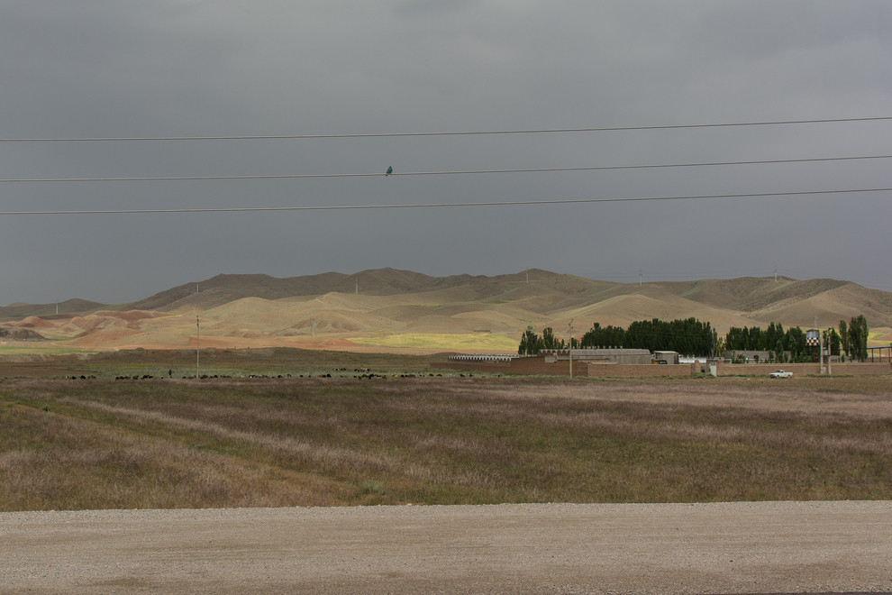
→ view on map “Khoy to Salmas”
Shahpur, Azarbayjan-e Gharbi, Iran, 24℃, 1435m 2013-06-11 15:36:43 (EEST)
35.0 mm | f4.0 | 1/640s
→ view on map “Khoy to Salmas”
Shahpur, Azarbayjan-e Gharbi, Iran, 24℃, 1435m 2013-06-11 15:36:43 (EEST)
35.0 mm | f4.0 | 1/640s
→
www.flickr.com
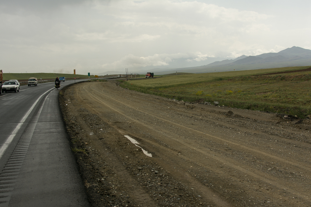
→ view on map “Khoy to Salmas”
Azarbayjan-e Gharbi, IR, Iran, 16℃, 1574m 2013-06-11 14:56:29 (EEST)
35.0 mm | f4.0 | 1/400s
→ view on map “Khoy to Salmas”
Azarbayjan-e Gharbi, IR, Iran, 16℃, 1574m 2013-06-11 14:56:29 (EEST)
35.0 mm | f4.0 | 1/400s
→
www.flickr.com
→ view on map “Khoy to Salmas”
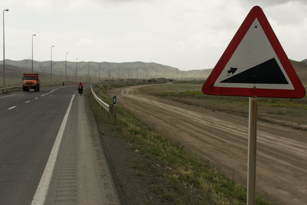
Azarbayjan-e Gharbi, IR, Iran, 20℃, 1339m 2013-06-11 13:16:56 (EEST)
35.0 mm | f4.0 | 1/125s
→ view on map “Khoy to Salmas”
Azarbayjan-e Gharbi, IR, Iran, 20℃, 1339m 2013-06-11 13:16:56 (EEST)
35.0 mm | f4.0 | 1/125s
→
www.flickr.com
→ view on map “Khoy to Salmas”
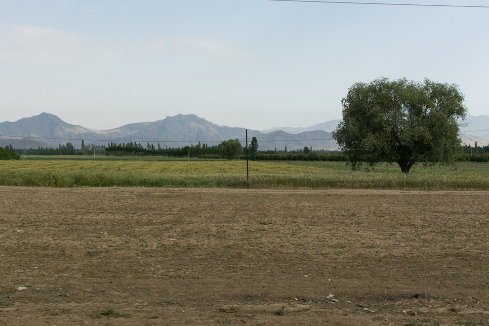
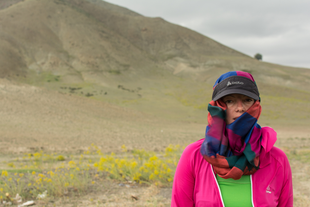
Azarbayjan-e Gharbi, IR, Iran, 20℃, 1306m 2013-06-11 13:08:41 (EEST)
35.0 mm | f4.0 | 1/250s
→ view on map “Khoy to Salmas”
Azarbayjan-e Gharbi, IR, Iran, 20℃, 1306m 2013-06-11 13:08:41 (EEST)
35.0 mm | f4.0 | 1/250s
→
www.flickr.com
→ view on map “Khoy to Salmas”
Azarbayjan-e Gharbi, IR, Iran, 20℃, 1306m 2013-06-11 13:08:20 (EEST)
35.0 mm | f4.0 | 1/80s
→ view on map “Khoy to Salmas”
Azarbayjan-e Gharbi, IR, Iran, 20℃, 1306m 2013-06-11 13:08:20 (EEST)
35.0 mm | f4.0 | 1/80s
→
www.flickr.com
→ view on map “Khoy to Salmas”
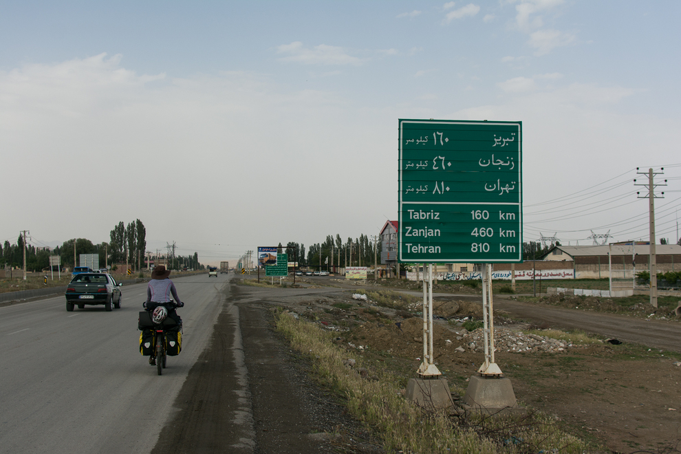
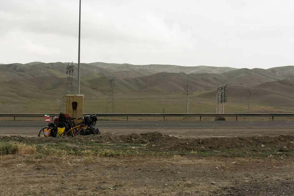
Azarbayjan-e Gharbi, IR, Iran, 22℃, 1291m 2013-06-11 13:01:48 (EEST)
35.0 mm | f4.0 | 1/320s
→ view on map “Khoy to Salmas”
Azarbayjan-e Gharbi, IR, Iran, 22℃, 1291m 2013-06-11 13:01:48 (EEST)
35.0 mm | f4.0 | 1/320s
→
www.flickr.com
→ view on map “Khoy to Salmas”
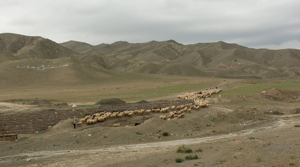
Azarbayjan-e Gharbi, IR, Iran, 26℃, 1237m 2013-06-11 12:48:36 (EEST)
35.0 mm | f4.5 | 1/320s
→ view on map “Khoy to Salmas”
Azarbayjan-e Gharbi, IR, Iran, 26℃, 1237m 2013-06-11 12:48:36 (EEST)
35.0 mm | f4.5 | 1/320s
→
www.flickr.com
→ view on map “Khoy to Salmas”
Azarbayjan-e Gharbi, IR, Iran, 26℃, 1237m 2013-06-11 12:48:22 (EEST)
35.0 mm | f4.5 | 1/320s
→ view on map “Khoy to Salmas”
Azarbayjan-e Gharbi, IR, Iran, 26℃, 1237m 2013-06-11 12:48:22 (EEST)
35.0 mm | f4.5 | 1/320s