The dream that was the KKH
distance: 1176.03km
duration: 92h 29min
The Karakoram Highway has been on my mind since i started dreaming about cycling around the world more than 10 years ago.
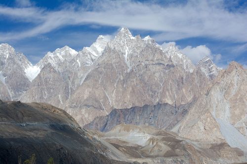
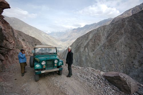
Built under difficult conditions between '59 and '79, connecting China's Xinjiang region with Pakistans Gilgit-Baltistan and Indus Kohistan via the Karakoram Mountain range, its name alone instills dreams of adventure and hardship in remote high altitude.
Obviously, the KKH has been a major goal of this tour and while there was never a concrete plan on how to continue afterwards through Pakistan and India, our plans to cross it where set in stone from the beginning.
My expectations for the KKH had been rough, narrow dirtroads, steep gradients, broken bridges and an isolated population of peasants, living off livestock and small crops - very much what we had experienced on the Pamir Highway.
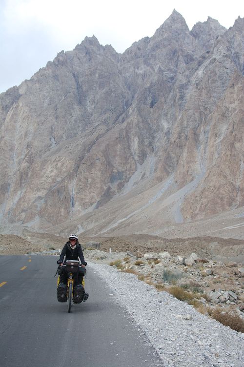
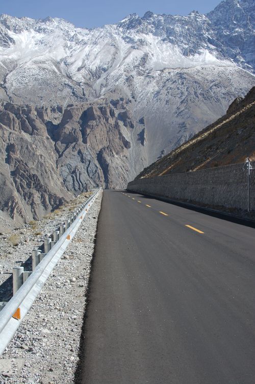
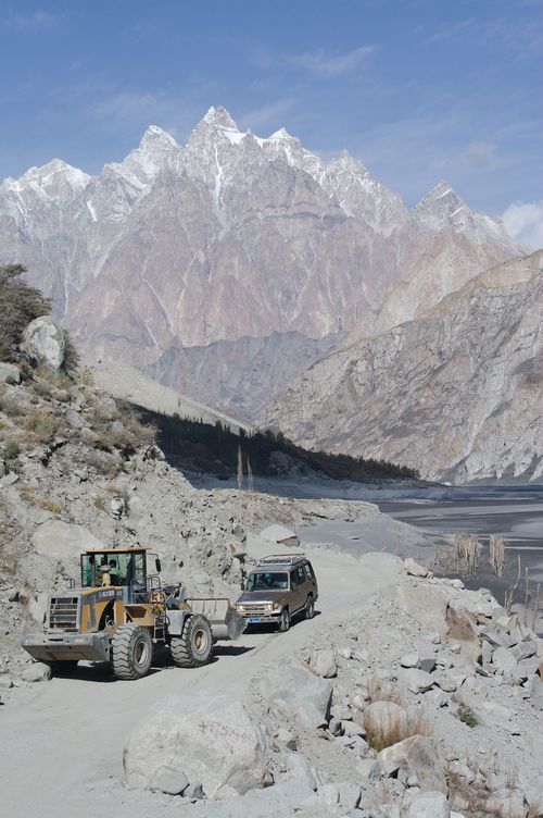
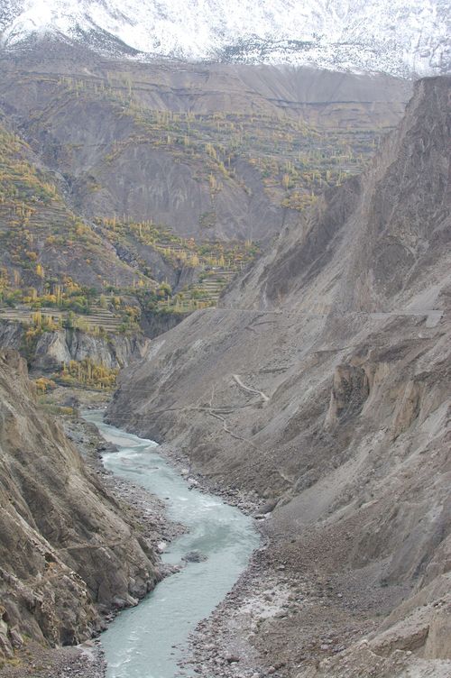
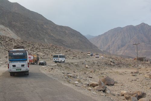
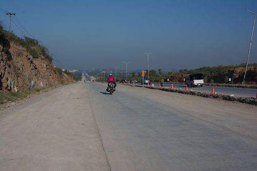
The reality could not have been different! The wide chinese-built road was brand-new, perfect tarmac with a negligible grade (And we went downhill most of the time) and there's a lot of tourism infrastructure - plenty of hotels and restaurants to choose from.
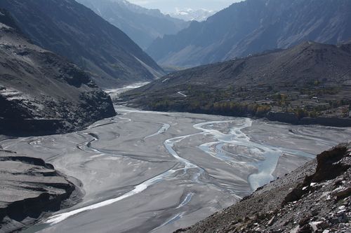
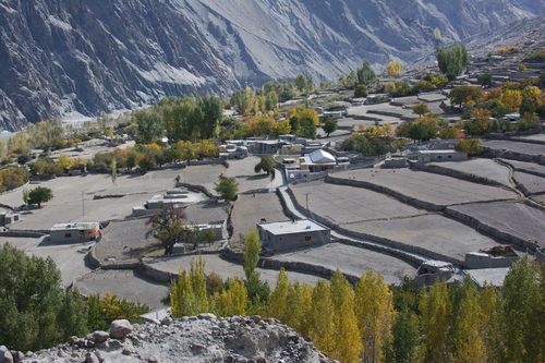
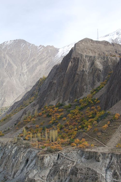
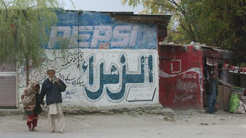
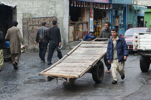
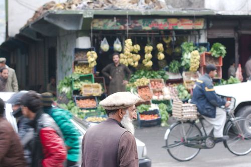
While there is agriculture in the Hunza Valley, the inhabitants appear to be far better of than the poor peasants of the tajik high-altitude valleys.
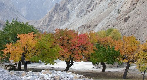
Some of the best apples in the world come from the Hunza Valley - and we where lucky that we had arrived just in season to buy them from roadside traders (Most of the crop though is sent to the Emirates and Saudi Arabia we where told - you will hardly find an apple from Pakistan in an european supermarket).
Aside from agriculture as a source of income, many people in Northern Pakistan have based their livelihood on tourism -but tourism has largely vanished in the years after 9/11 and the subsequent reports of terrorism and insurgency in Pakistan in western media.
Most people unfortunately don't make any distinction between the peaceful and quiet north of Pakistan, the troubled Waziristan at the border to Afghanistan or the violent south (Karachi and Balochistan).
The Nanga Parbat attack in 2013, where 10 climbers where killed by islamists, didn't help to improve the picture (I highly doubt any such attack will ever happen again in Northern Pakistan, as neither Al-Qaeda nor Taliban are active in the area and there is no support whatsoever from the population).
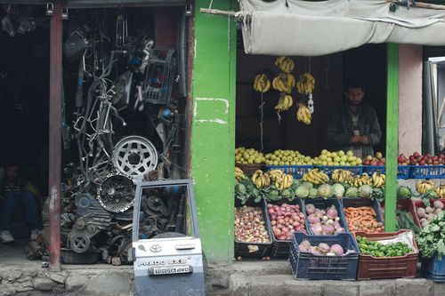
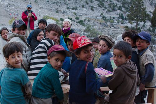
Nearly everywhere we stopped, we where told about the lack of tourists and how it hurts the local economy. Everything is there - hotels, restaurants, souvenir shops, mountain guides, trekking equipment - but the tourists no longer come to Northern Pakistan out of irrational fear.
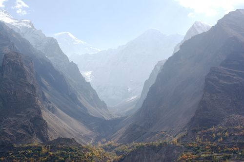
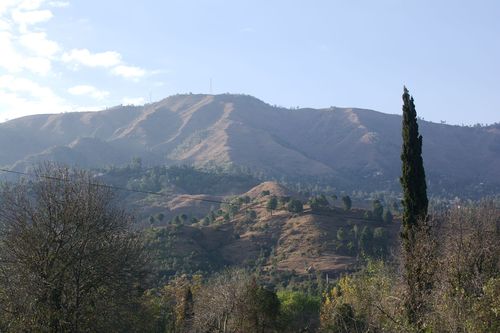
To us the ride through the Hunza Valley seemed like a pleasant sunday afternoon stroll - riding easy as can be on the perfect road, traffic nearly non-existant and the weather mild.
All dreams of adventure have vanished into thin air though - this place is far from the challenge that was the Pamir Highway! (Pretty different from the account of Emily Chappell, who rode the KKH from Gilgit to Khunjerab in spring 2012 - "The KKH was one of the most difficult rides of my life.")
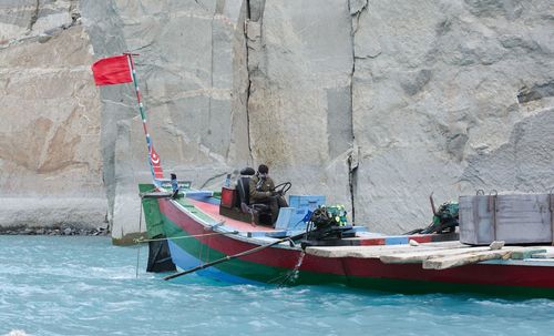
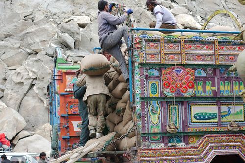
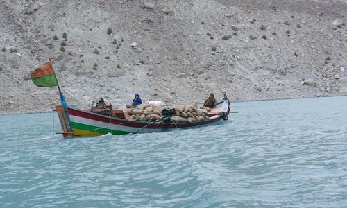
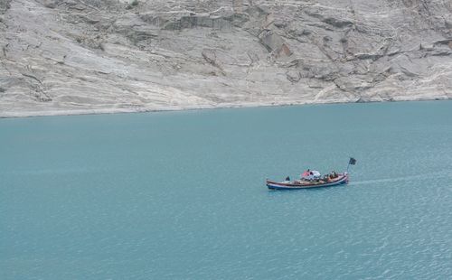
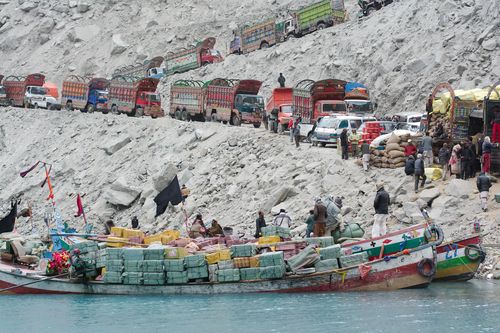
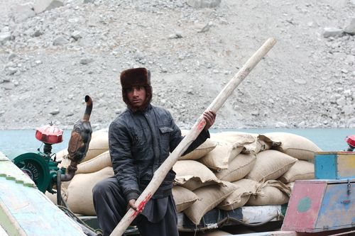
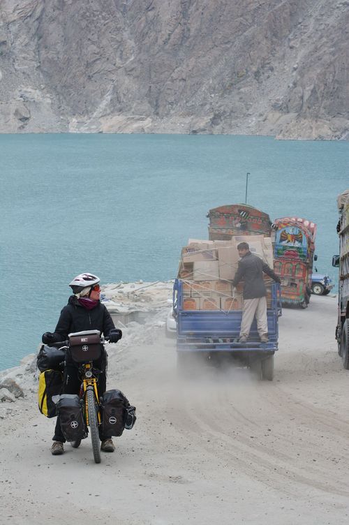
Probably the technically most interesting part was the crossing of Attabad Lake - a lake created by a landslide in 2010. It completely blocks the road for 10km and all goods, vehicles and people have to be carried across by boat, including us.
Unfortunately the weather turned, it got cloudy, rainy - and cold, due to the absence of the sun.
In Karimabad we tried to sit out the bad weather and a cold i had catched (And a gloomy mood i had acquired since we had left Bishkek). We had planned to do some hiking to the Rakaposhi base camp, but we missed the chance of one day with clear weather and the following days the clouds did not recede anymore and we decided to give it another try from Minapin, a village further down the KKH. The rainy weather got even worse however and in the end we gave up on waiting any longer and continued to Gilgit.
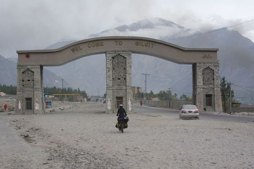
Gilgit also marked the end of cycling the "proper" KKH (Meaning the high-altitude part) - the police won't allow any individual travel between Mansehra and Gilgit for the ever present but ambiguous "security reasons". Emily Chappell still had the choice to travel through Kohistan by bike alone, but eventually decided against it.
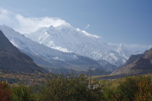
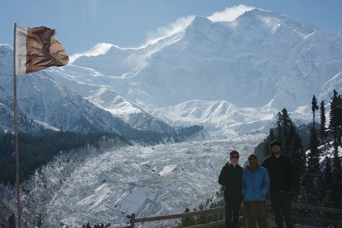
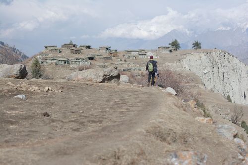
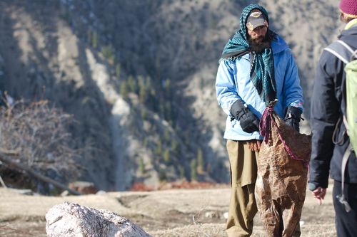
At last we where lucky weatherwise when we left Gilgit for a 3-day trip to Fairy Meadows at the base of mighty Nanga Parbat - it was icy cold and winter had already set in above 3000m, but it was a clear day and we where happy to experience at least some trekking in the Karakoram!
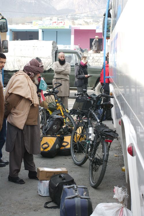
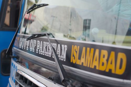
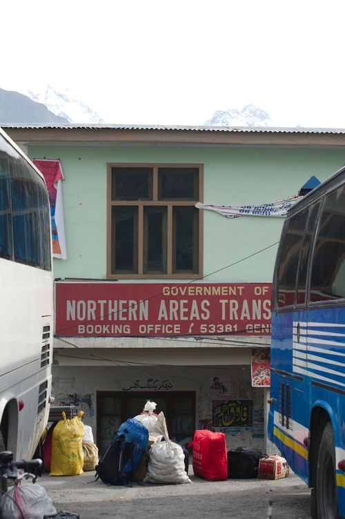
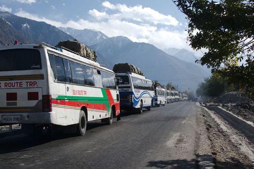
Taking the escorted bus convoi to Mansehra was predictably long and strenous - the mandatory registration at the police checkpoints every 20km throughout the night was a welcome chance to get out of the smelly and crowded bus.
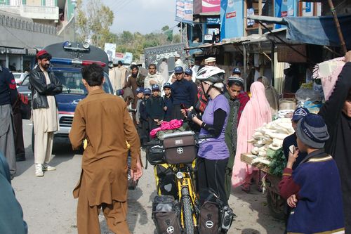
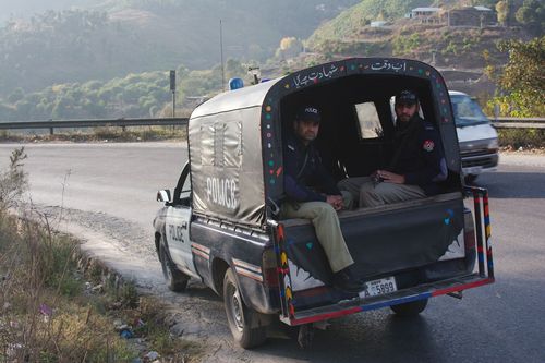
From Mansehra onwards to Islamabad we where escorted by the police - consisting of 2-3 armed officers in a pickup or by motorbike. They switched at municipality borders, some of them where very nice, some of them just wanted to get rid of us as fast as possible and tried to convince us to put the bikes in the back of their car (Which we politely refused).
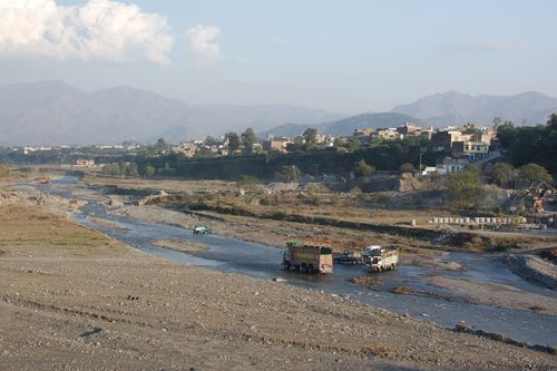
To our surprise we where escorted right up to Islamabad - if our warmshowers-host had been at home in the afternoon, they would have delivered us right up to his doorstep.
10 years i've dreamed of riding the Karakoram Highway by bike - in the end we only got to ride a short and very easy part of it.
